Übersicht
Details
Fotoalbum
| Ziel der Reise | Highway 50 – Der einsamste Highway der USA … mit einem Abstecher zum Million Dollar Highway (Ouray) |
| besuchte Staaten | Colorado, Kalifornien, Nevada, Utah |
| Anreise | Hinflug von Frankfurt aus nach Denver mit Lufthansa Rückflug von San Francisco aus nach Frankfurt mit Lufthansa |
| Reisezeit | 05. September – 02. Oktober 2019 |
| Reisedauer | 27 Tage |
| gefahrene Strecke | 2.929 km |
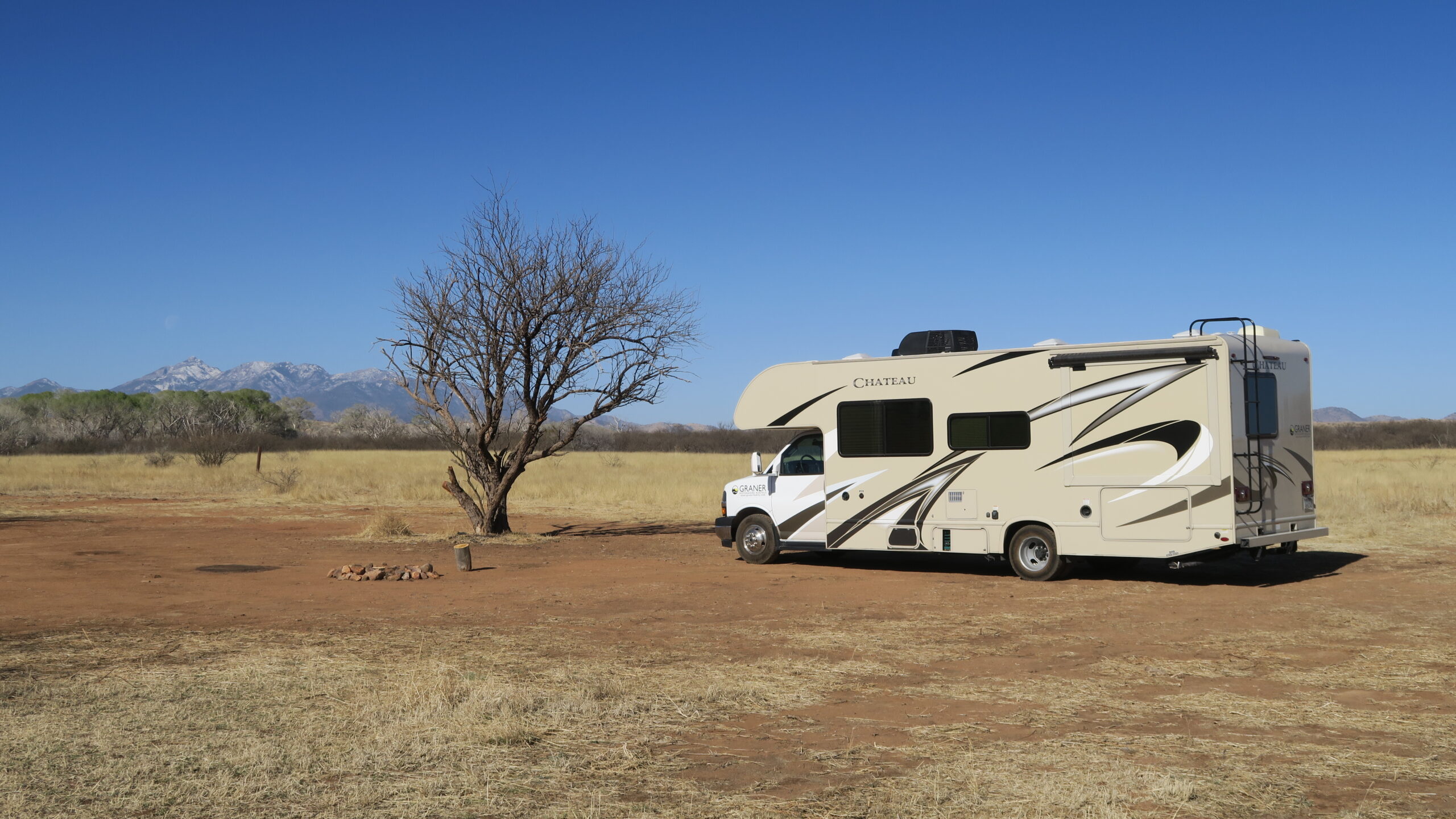
| benutztes Fahrzeug | C28 von El Monte RV |
| Karte | 2019 – Highway 50 – Karte |
| Wanderungen | 2019 – Highway 50 – Wanderungen |
| Etappe | km | Übernachtung | Site |
| Denver – Cheyenne Mountain SP | 98 | Swift Puma CG (im Cheyenne Mountain SP) | 39 |
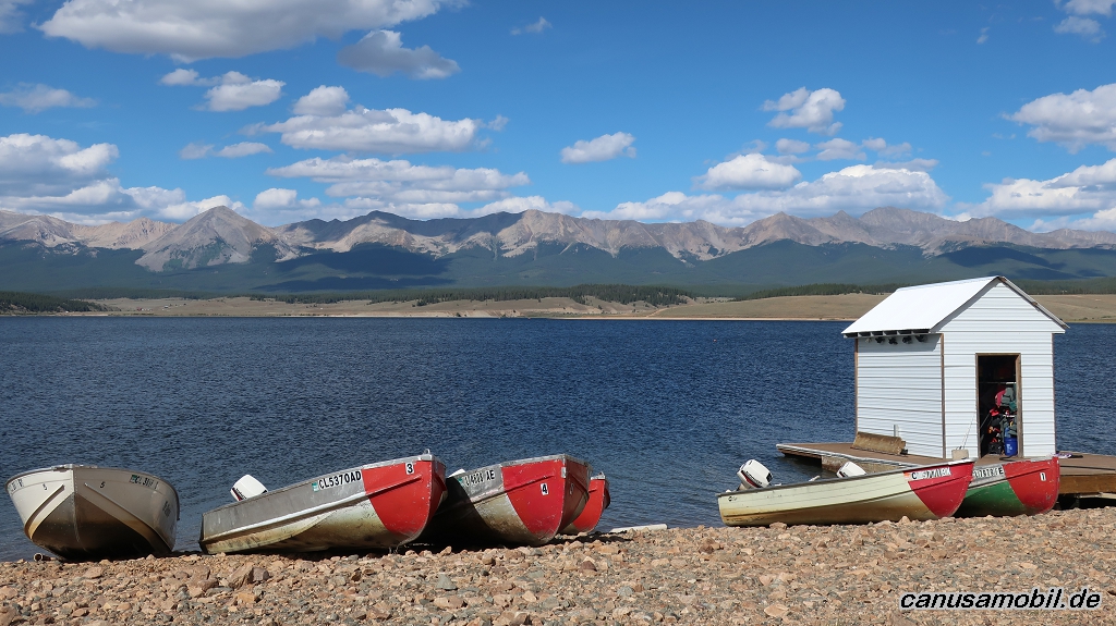
| Cheyenne Mountain SP – Taylor Park Reservoir | 260 | Lakeview Gunnison CG | 48 |
| Taylor Park Reservoir – Black Canyon of the Gunnison NP | 152 | South Rim CG (im Black Canyon of the Gunnison NP) | B 17 |
| Black Canyon of the Gunnison NP – Ouray | 90 | Amphitheater CG | 21 |
| Ouray – James M. Robb – Colorado River SP | 180 | Fruita Section CG (im James M. Robb – Colorado River SP) | 34 |
| James M. Robb – Colorado River SP – Scofield SP | 301 | Madsen Bay CG (im Scofield SP) | 27 |
| Scofield SP – Antelope Island SP | 230 | Bridger Bay CG (im Antelope Island SP) | 26 |
| Antelope Island SP – Great Basin NP | 430 | Upper Lehman Creek CG (im Great Basin NP) | 5 |
| Great Basin NP – Hickison Petroglyph RA | 310 | Hickison Petroglyph RA | ohne |
| Hickison Petroglyph RA – Berlin-Ichthyosaur SP | 139 | Berlin-Ichthyosaur SP | 1 |
| Berlin-Ichthyosaur SP – Fort Churchill SHP | 213 | Samuel Bucklands CG (im Fort Churchill SHP) | 18 |
| Fort Churchill SHP – Washoe Lake SP | 76 | Washoe Lake SP | 8 |
| Washoe Lake SP – Woodland | 261 | Yolo County Fair RV Park | n.b. |
| Woodland – Anthony Chabot RP | 159 | Anthony Chabot RP | 4 |
| Anthony Chabot RP – San Francisco | 30 | ||
| Summe der gefahrenen Kilometer | 2.929 | ||
| Ø Kilometer pro Etappe | 195 | ||
| Ø Kilometer pro Tag | 113 | ||
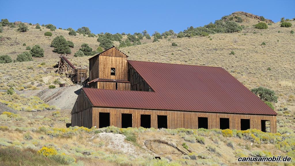
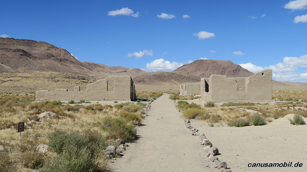
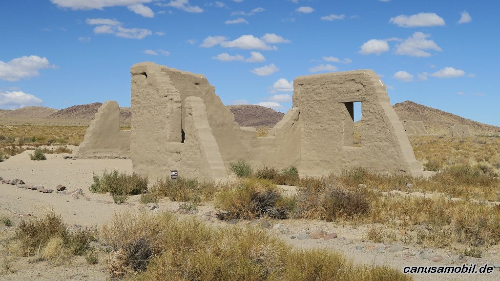
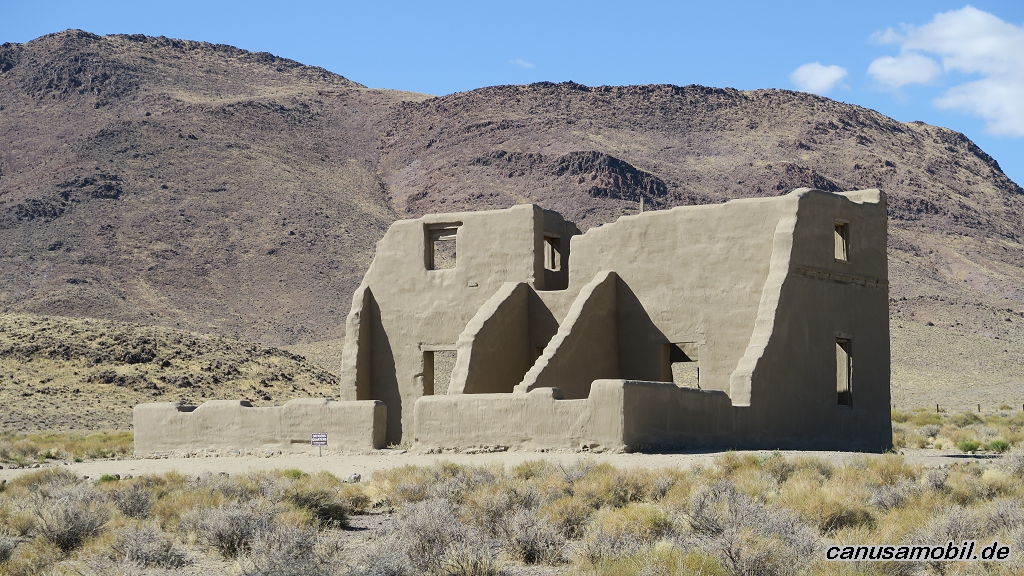
Berlin-Ichthyosaur SP 01

Berlin-Ichthyosaur SP 02
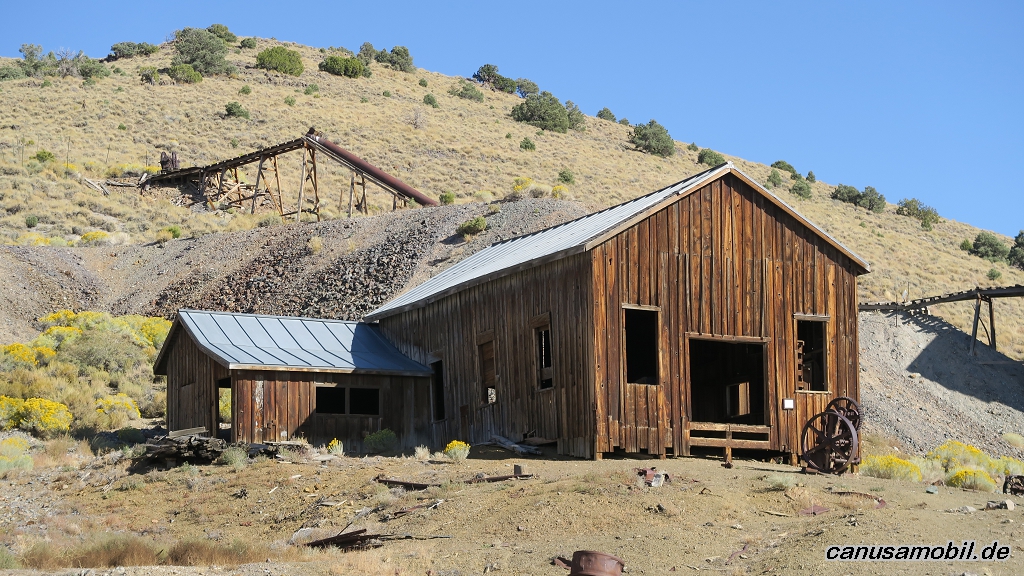
Berlin-Ichthyosaur SP 03
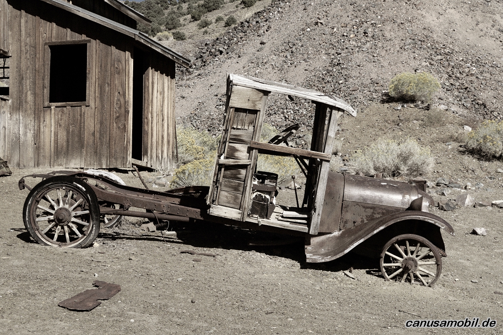
Berlin-Ichthyosaur SP 04
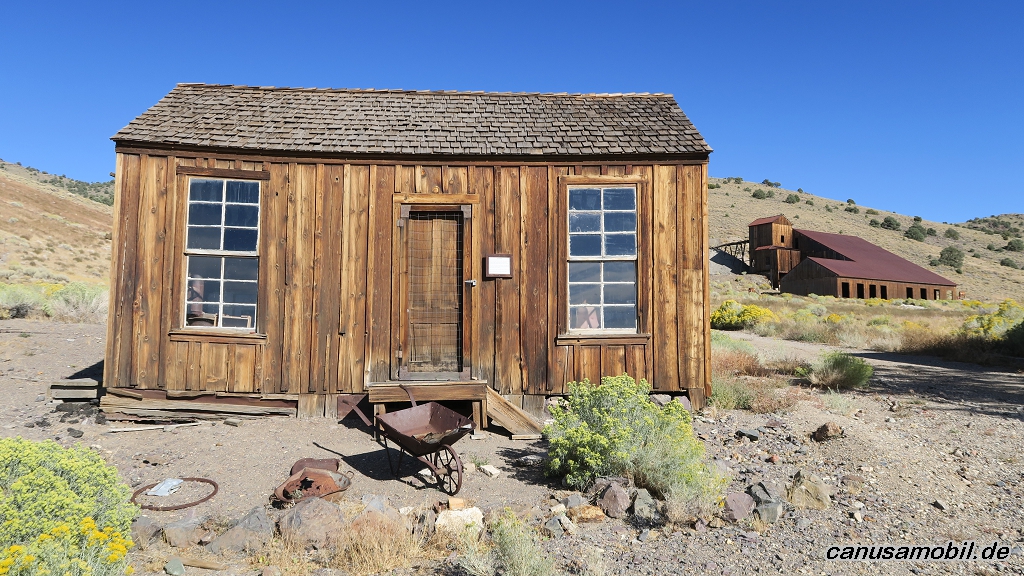
Berlin-Ichthyosaur SP 05
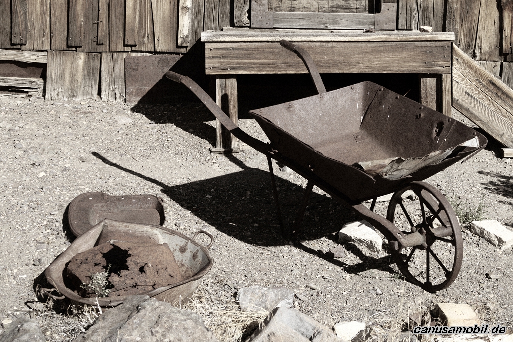
Berlin-Ichthyosaur SP 06
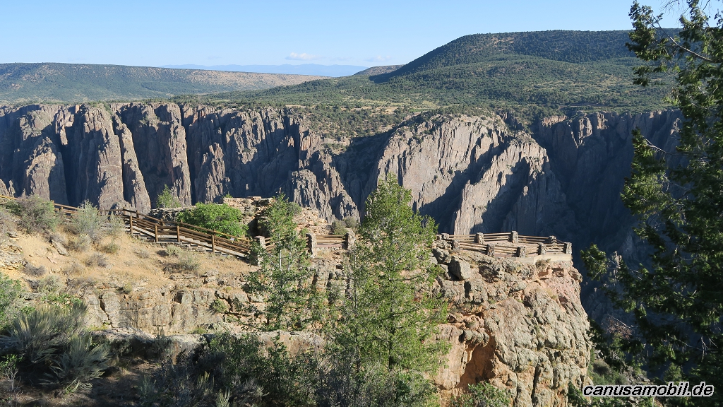
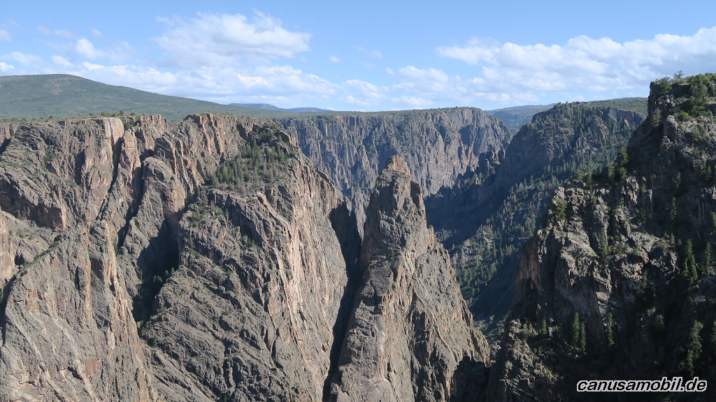
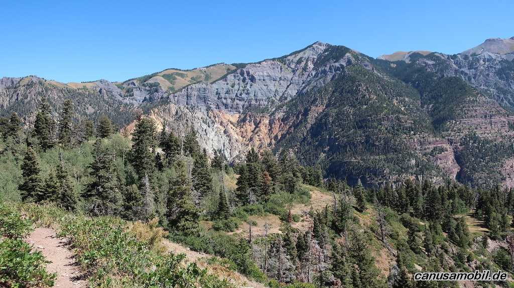
Black Canyon of the Gunnison NP 01
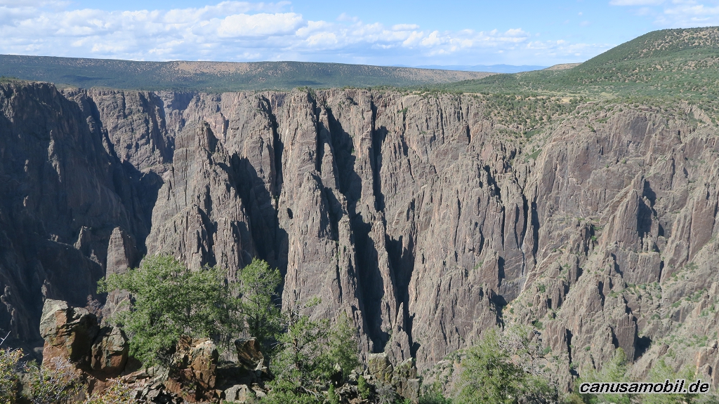
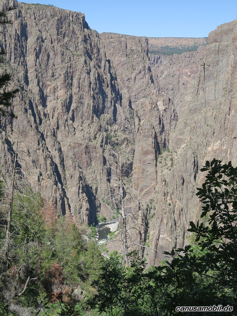
Black Canyon of the Gunnison NP 02
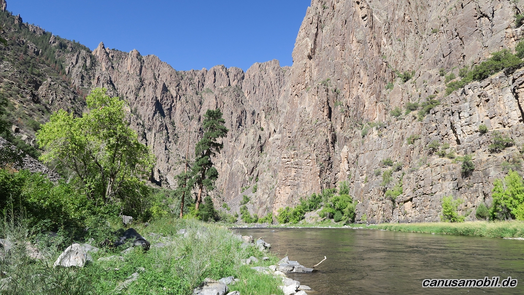
Black Canyon of the Gunnison NP 03
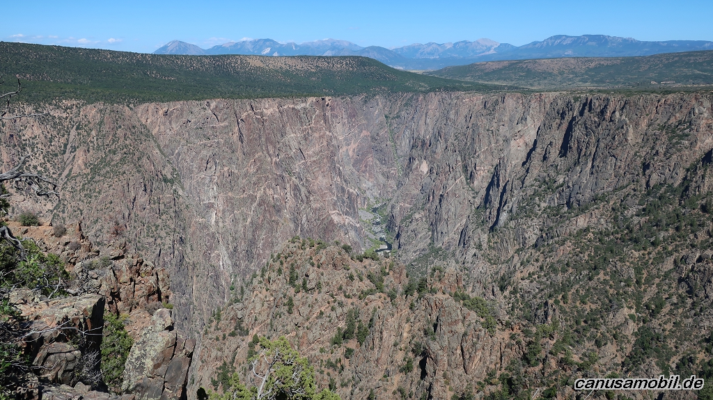
Black Canyon of the Gunnison NP 04
Black Canyon of the Gunnison NP 05
Black Canyon of the Gunnison NP 06
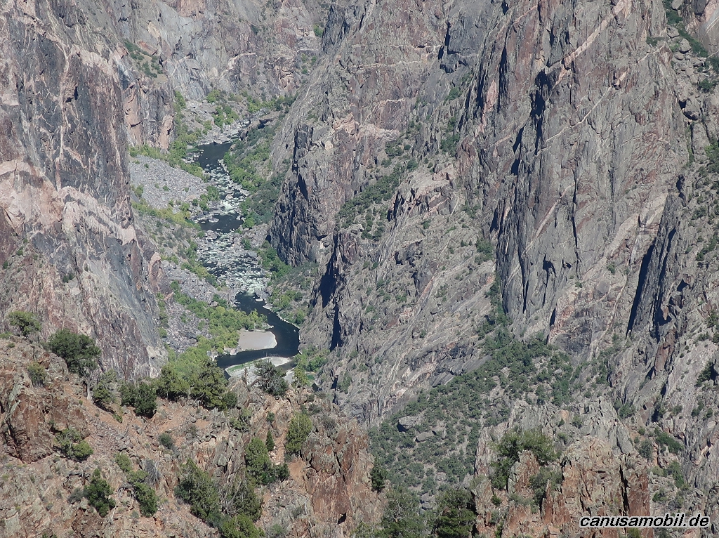
Black Canyon of the Gunnison NP 07
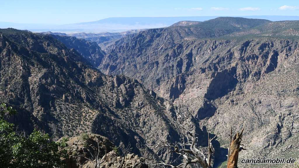
Black Canyon of the Gunnison NP 08
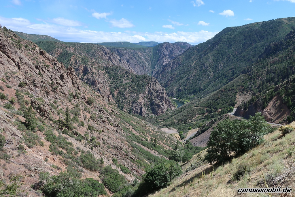
Black Canyon of the Gunnison NP 09

Black Canyon of the Gunnison NP 10
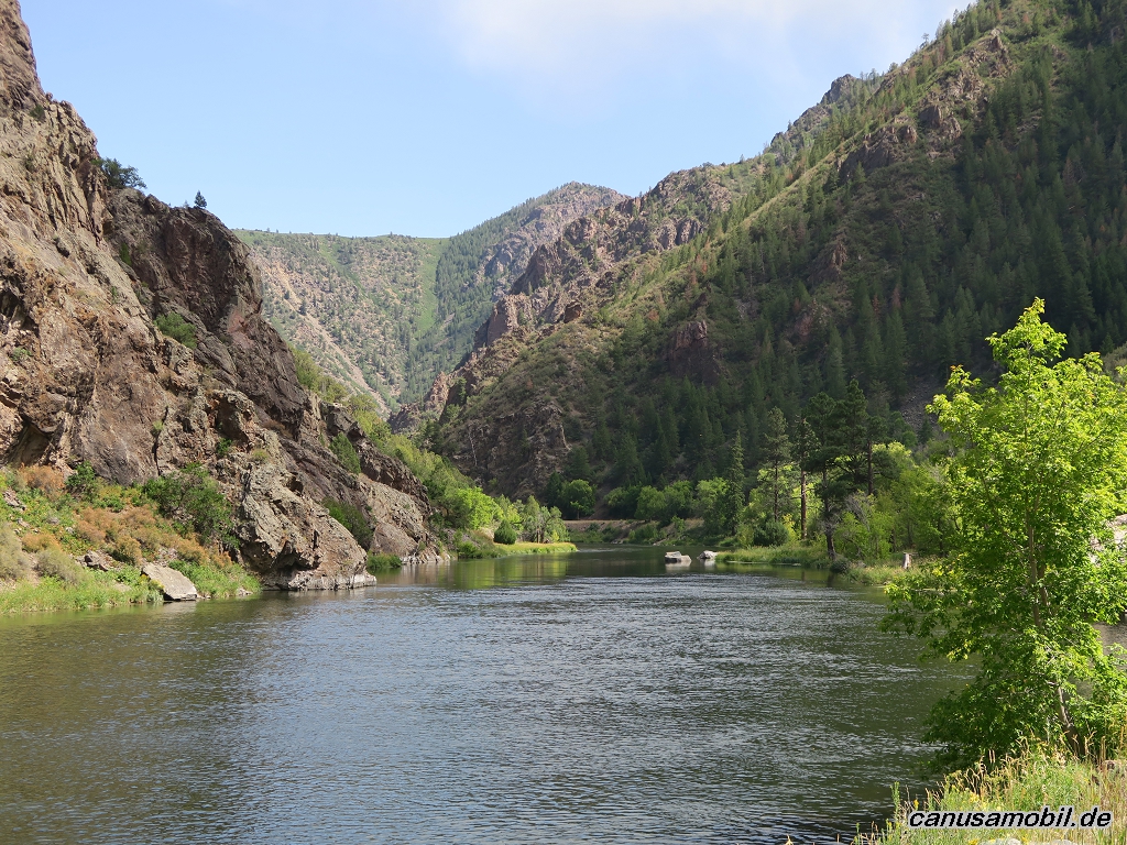
Black Canyon of the Gunnison NP 11
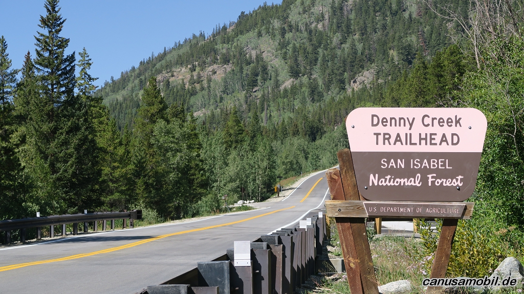
Cottonwood Pass 01
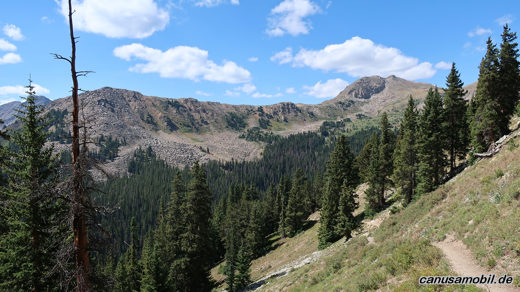
Cottonwood Pass 02
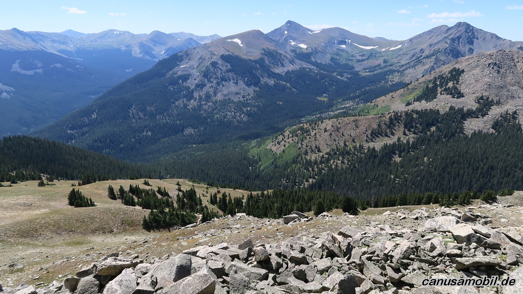
Cottonwood Pass 03
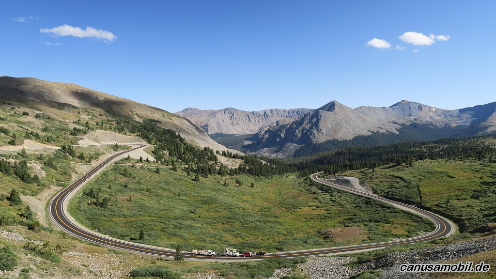
Cottonwood Pass 04
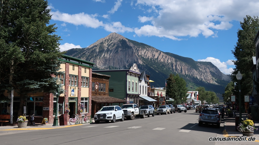
Crested Butte 01
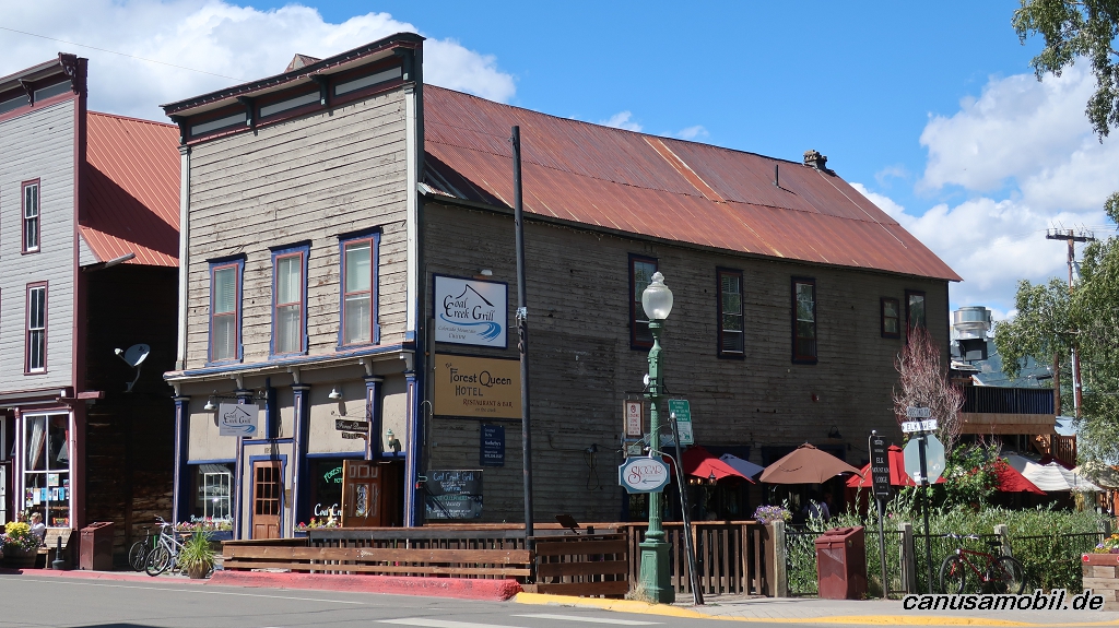
Crested Butte 02
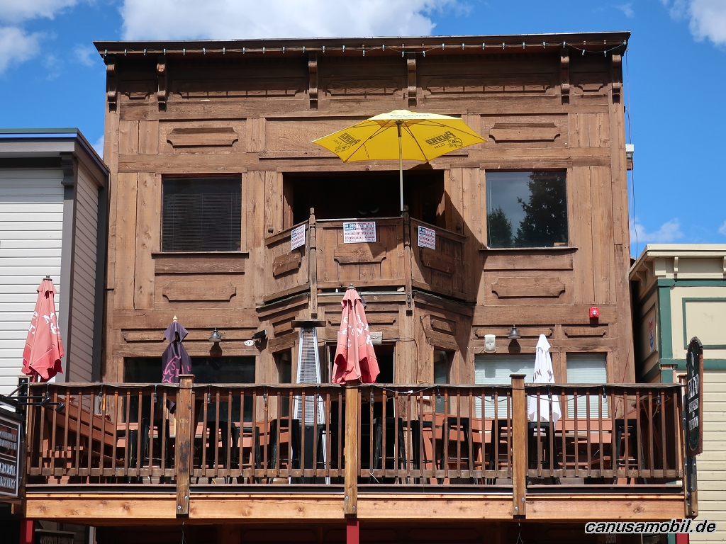
Crested Butte 03
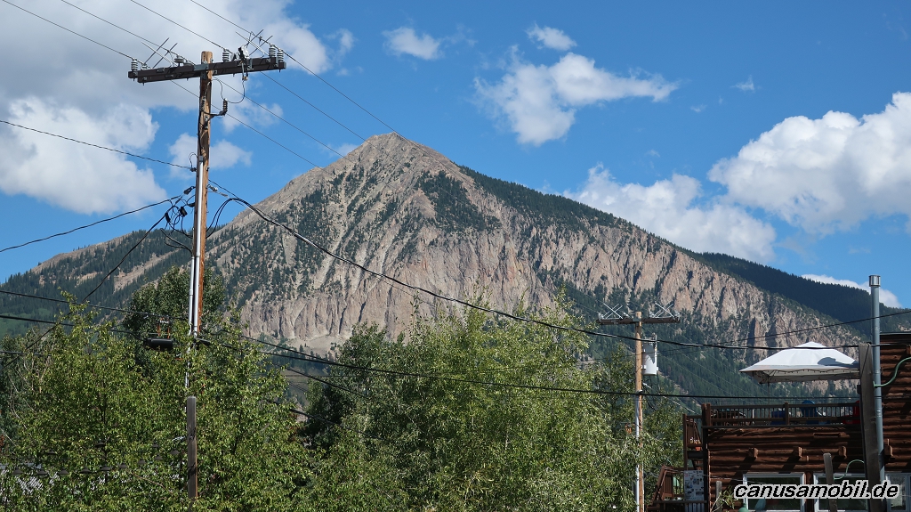
Crested Butte 04
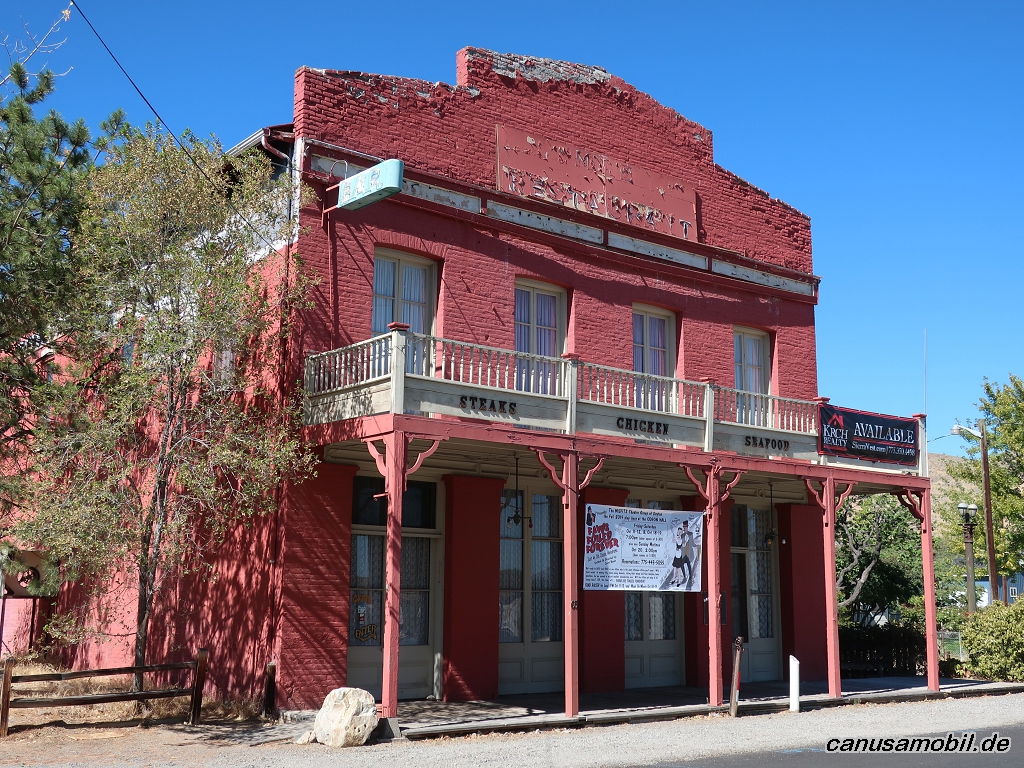
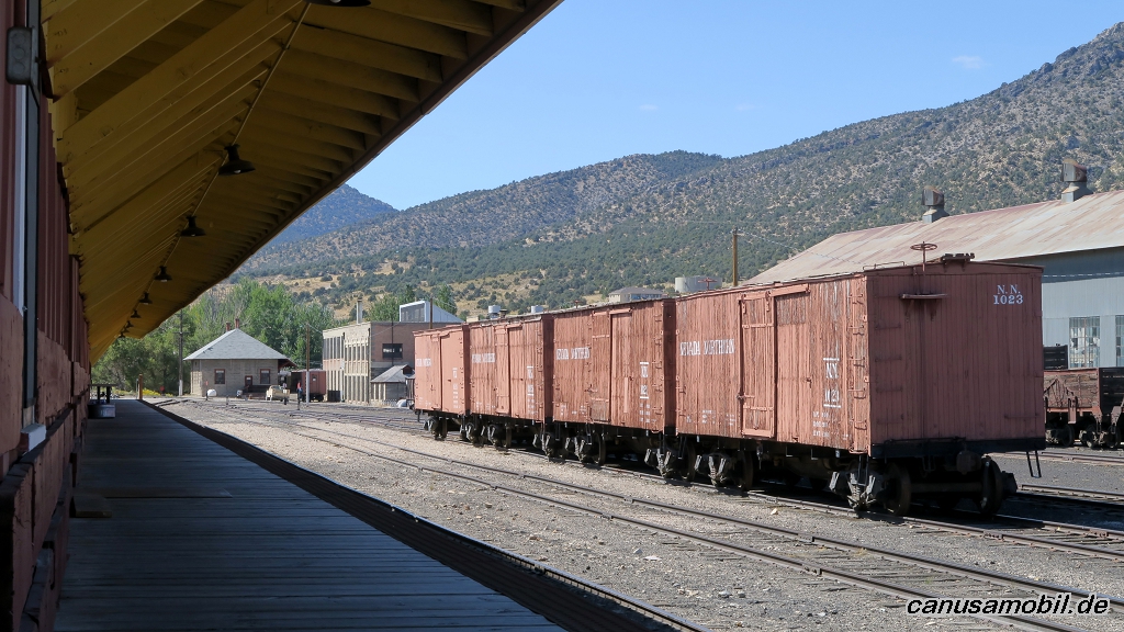
Dayton 01
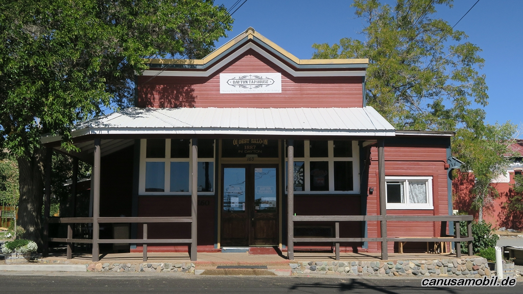
Dayton 02
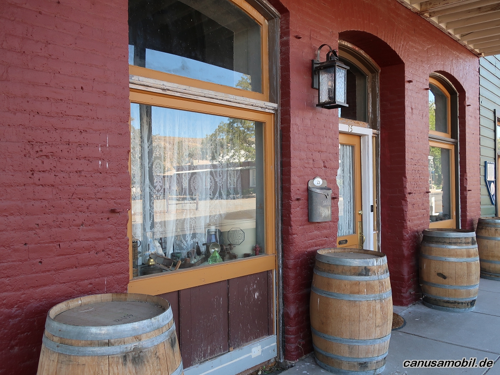
Dayton 03
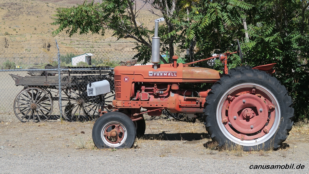
Dayton 04
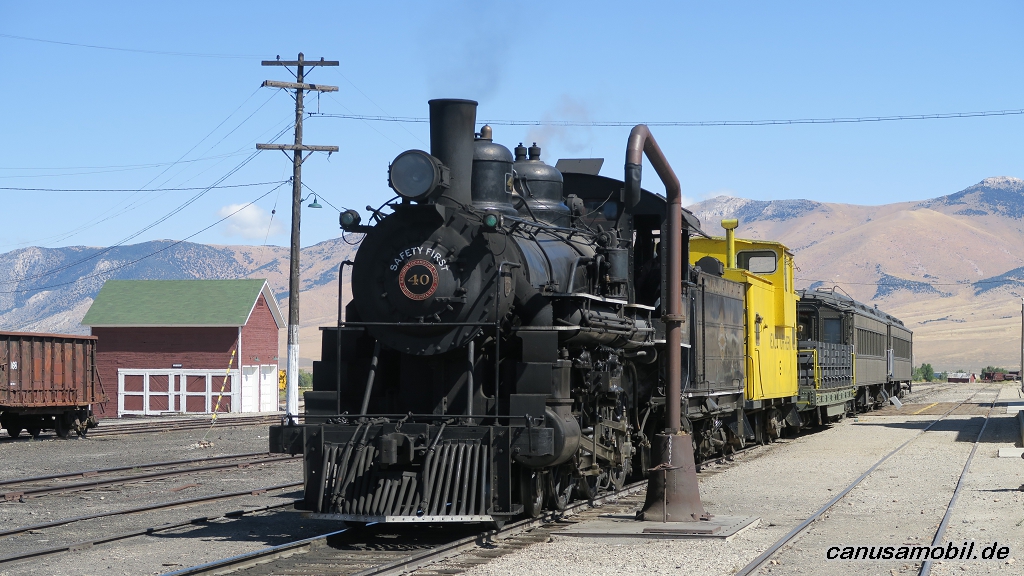
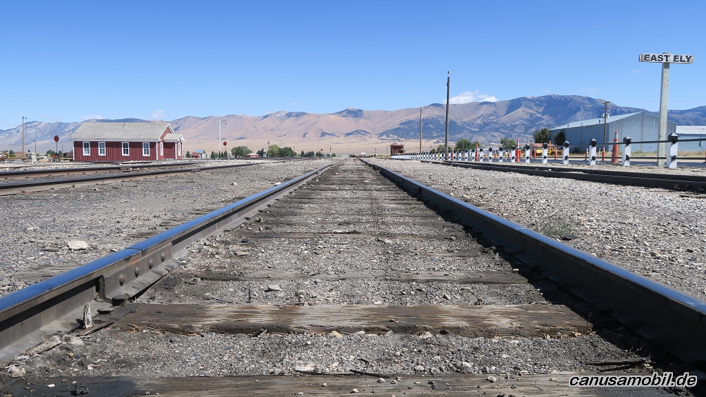
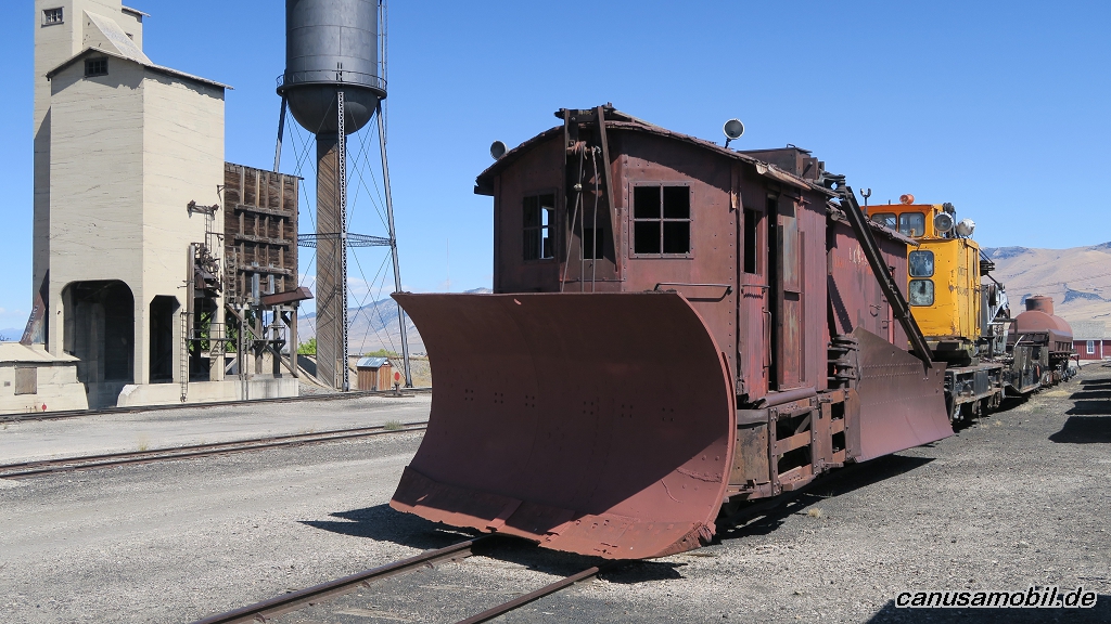
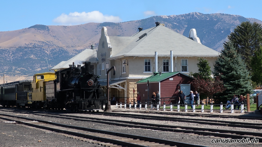
Ely 01
Ely 02
Ely 03
Ely 04
Ely 05
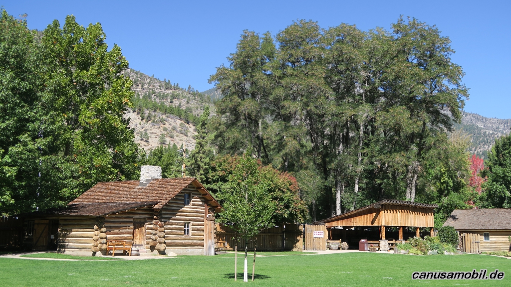
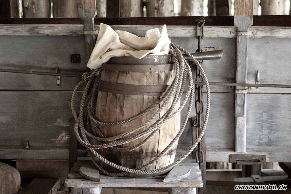
Fort Churchill SHP 01
Fort Churchill SHP 02
Fort Churchill SHP 03
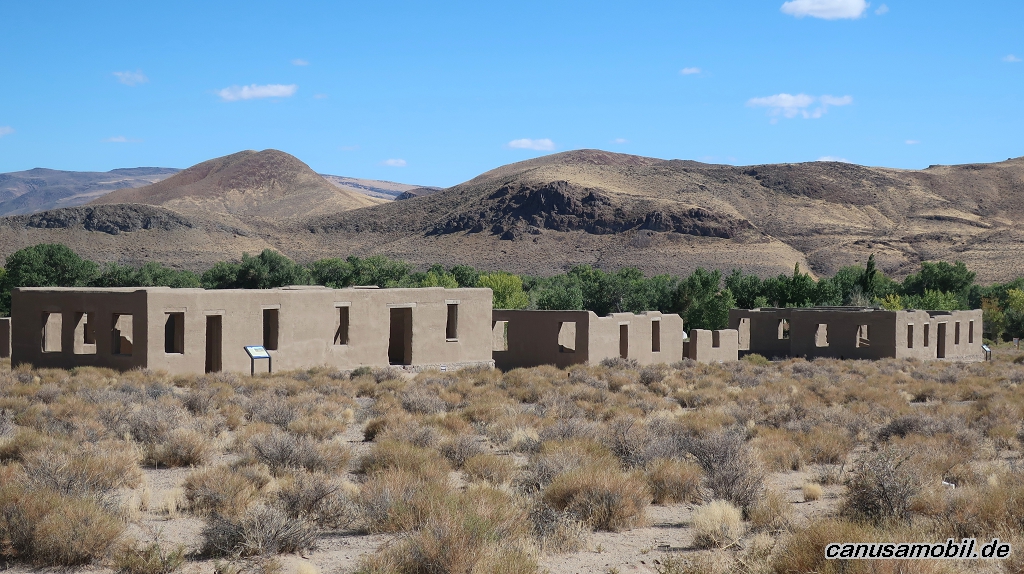
Fort Churchill SHP 04
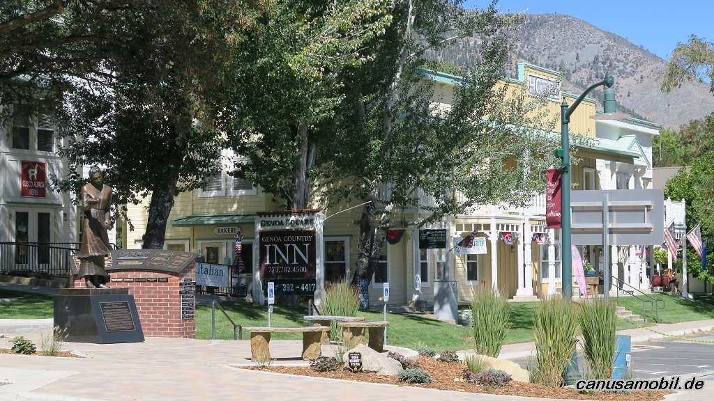
Genoa 01
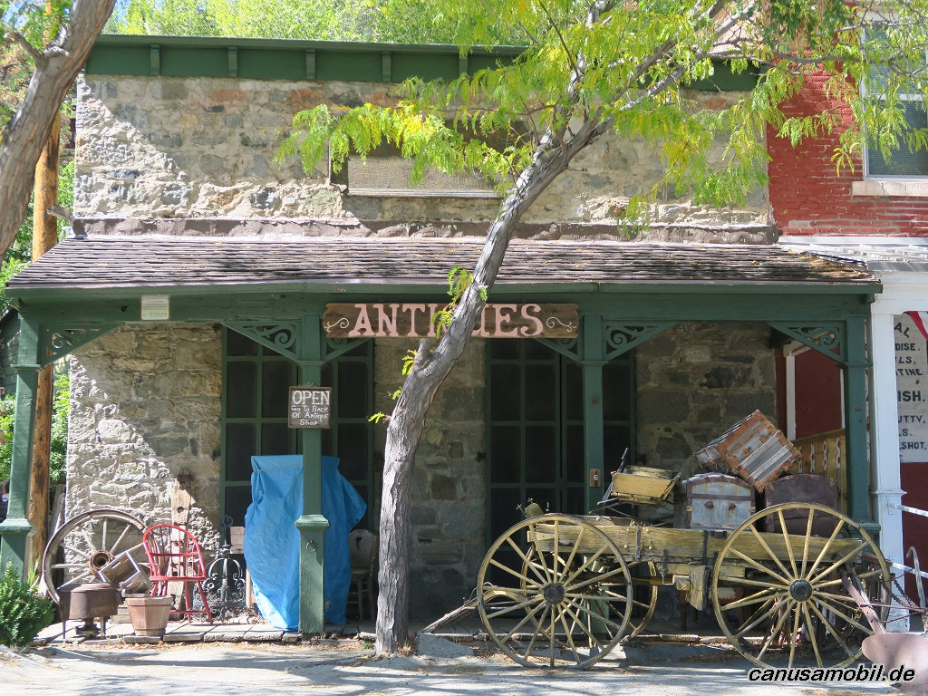
Genoa 02
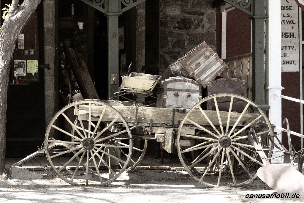
Genoa 03
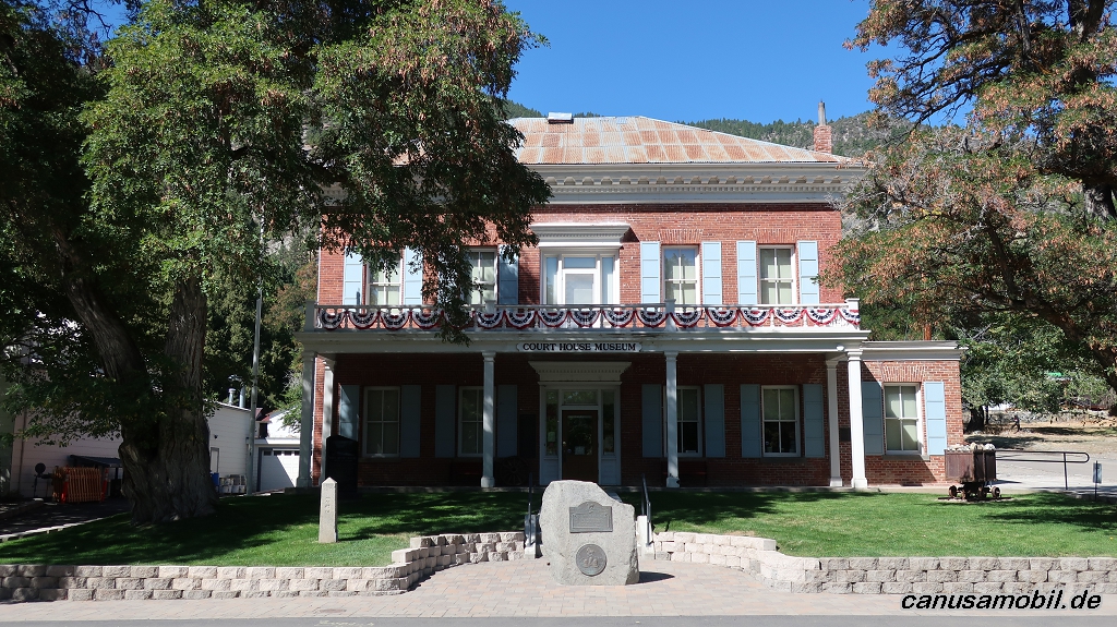
Genoa 04
Genoa 05
Genoa 06
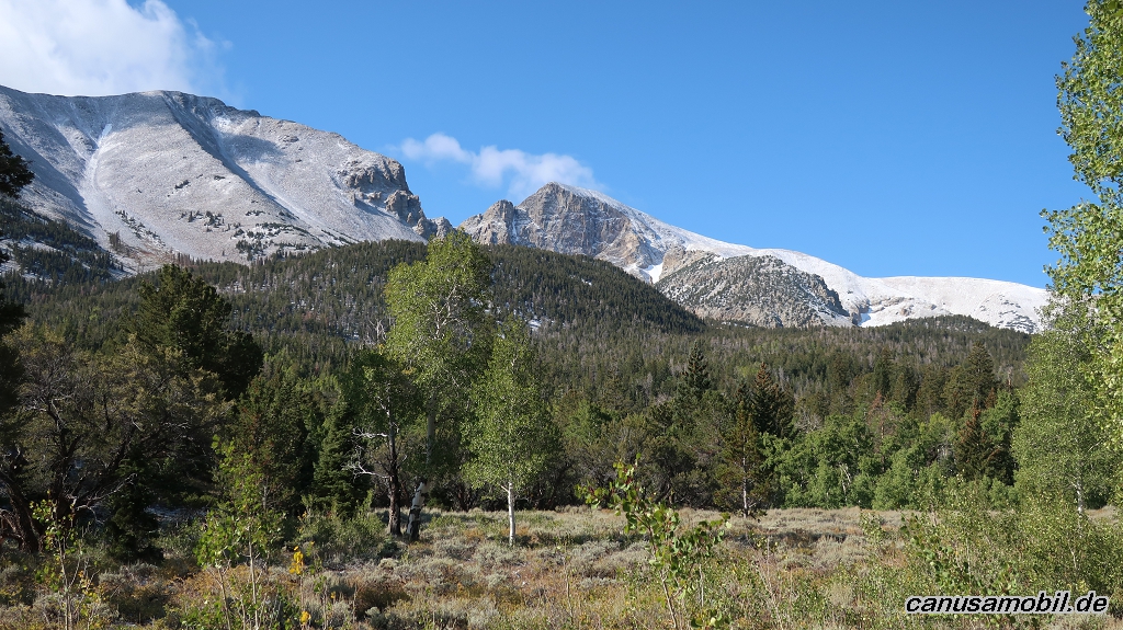
Great Basin NP 01
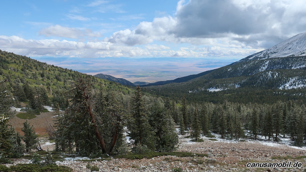
Great Basin NP 02
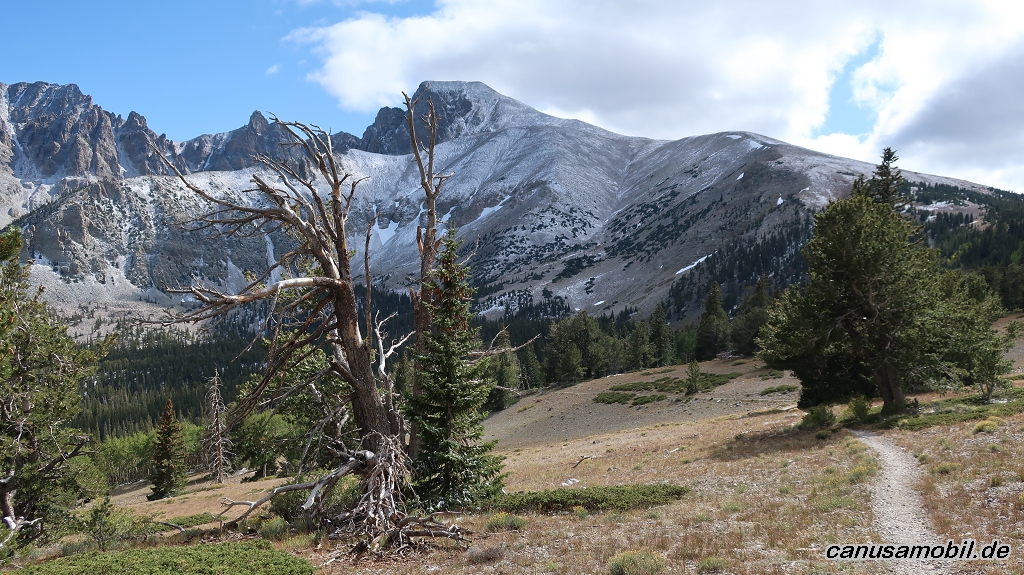
Great Basin NP 03
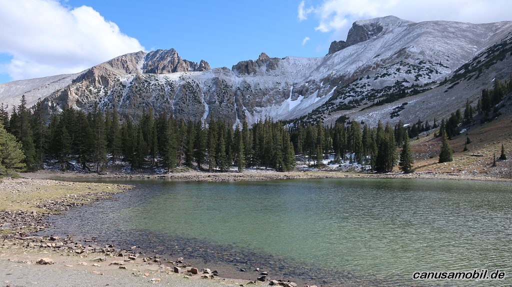
Great Basin NP 04
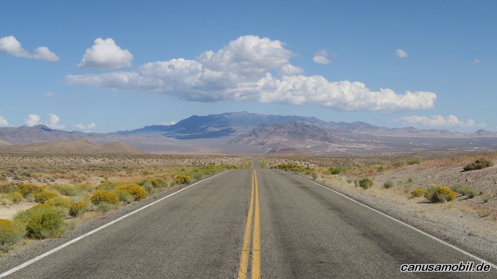
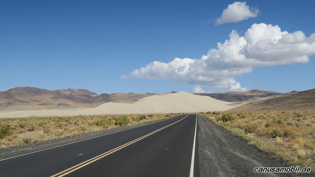
Highway 50
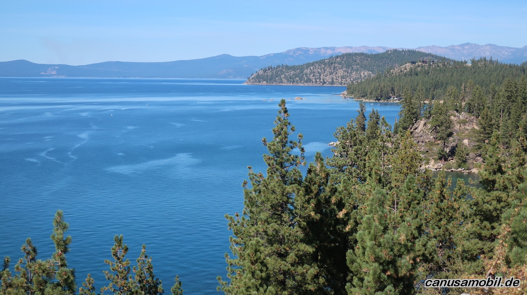
Lake Tahoe 01
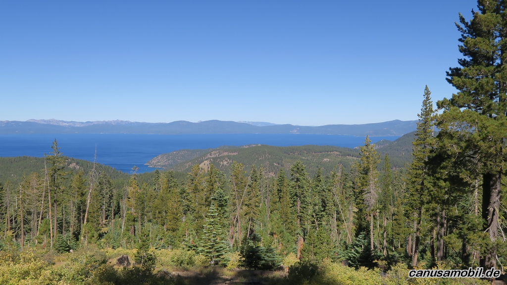
Lake Tahoe 02
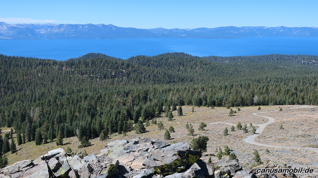
Lake Tahoe 03
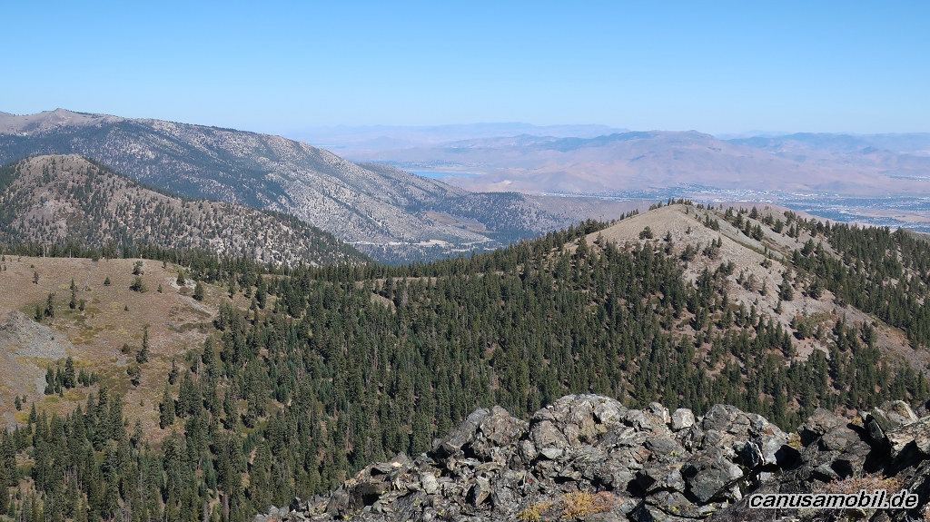
Lake Tahoe 04
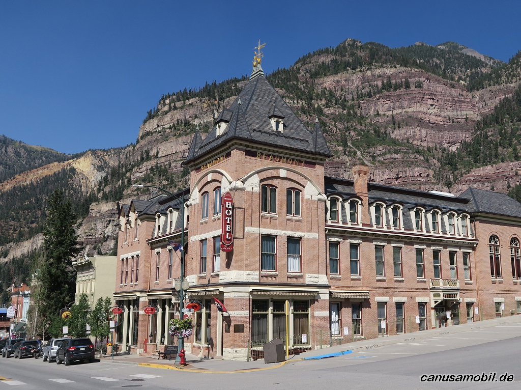
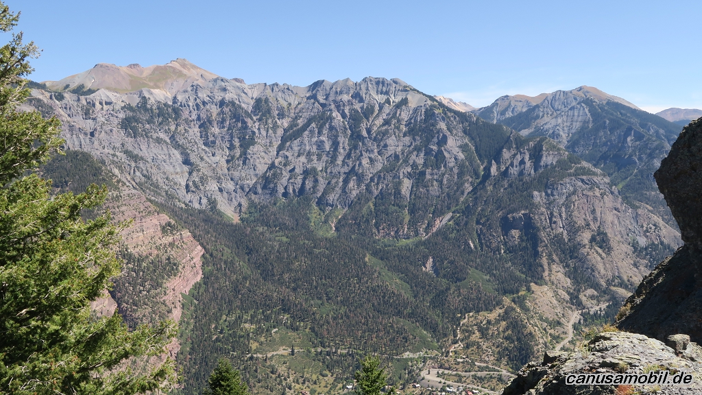
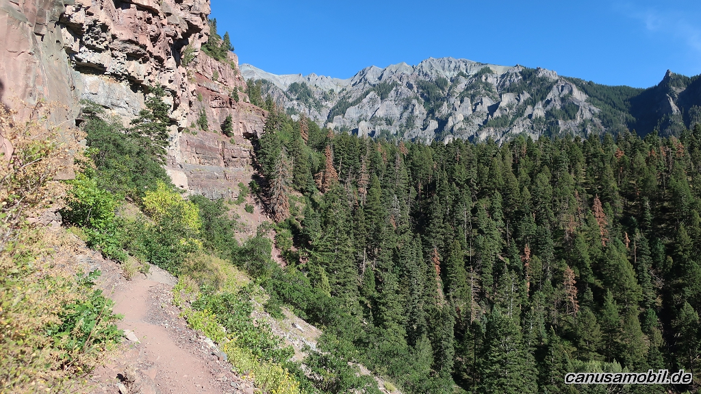
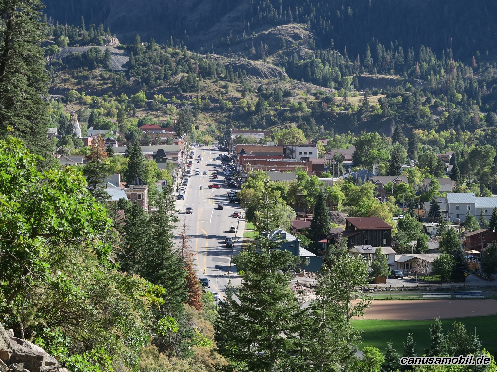
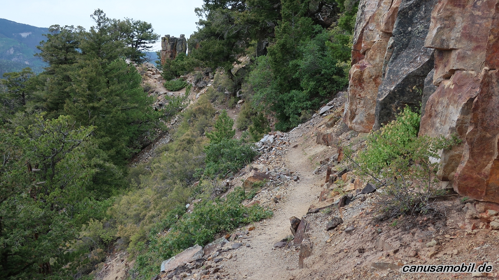
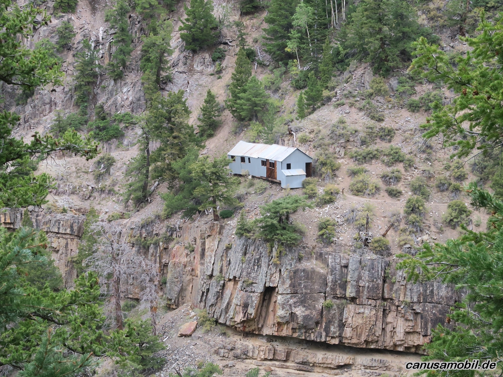
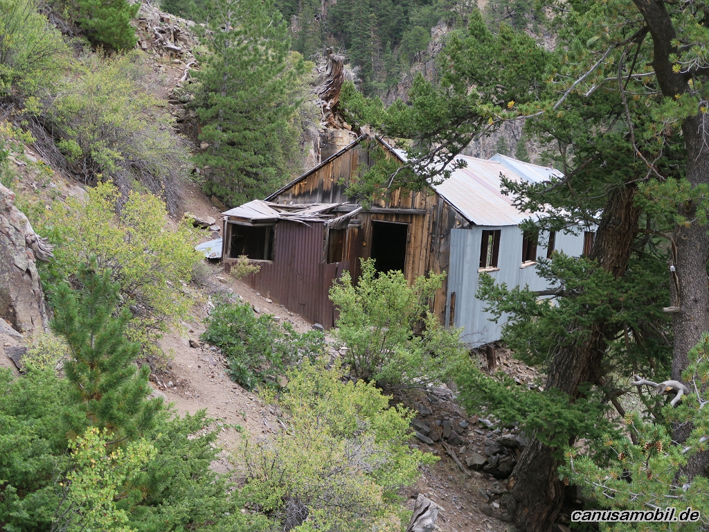
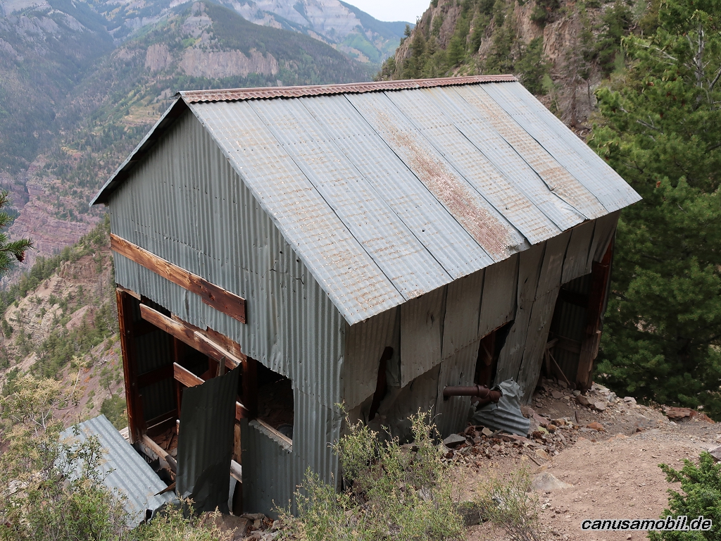
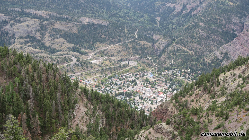
Ouray 01
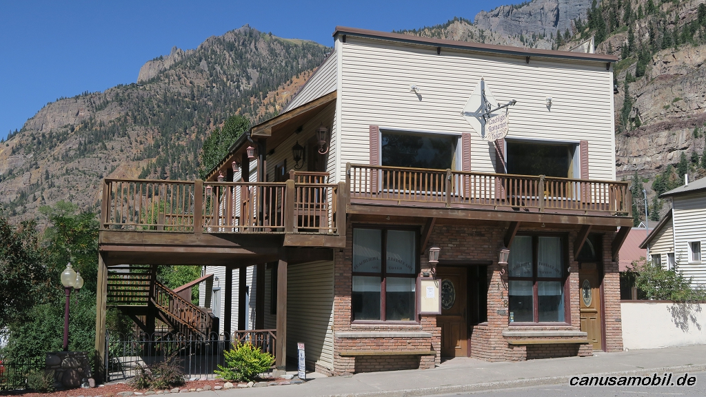
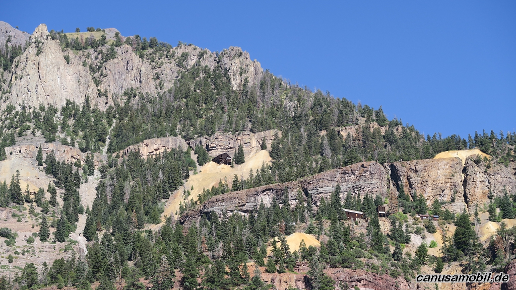
Ouray 02
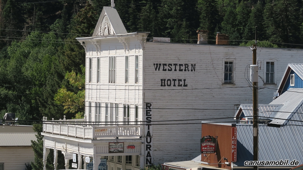
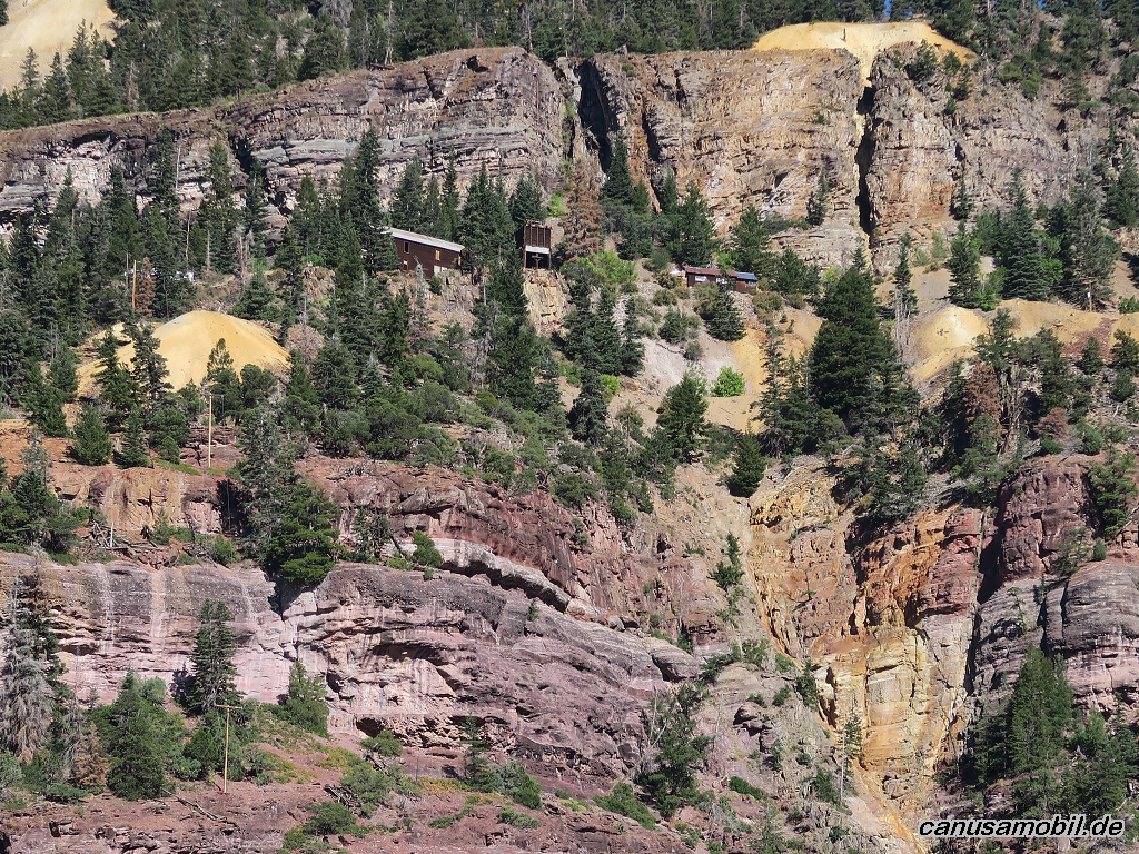
Ouray 03
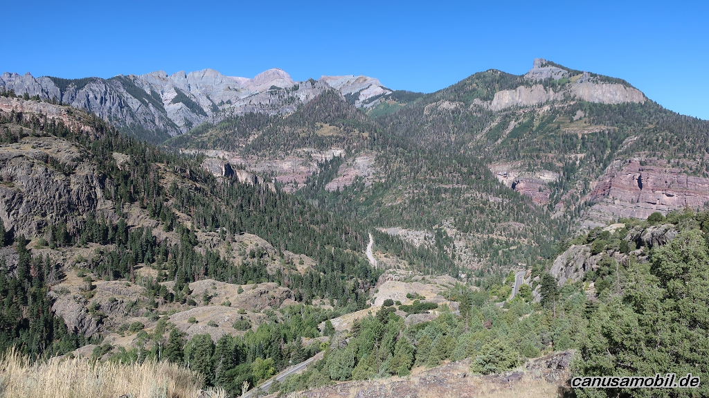
Ouray 04
Ouray 05
Ouray 06
Ouray 07
Ouray 08
Ouray 09
Ouray 10
Ouray 11
Ouray 12
Ouray 13
Ouray 14
Ouray 15
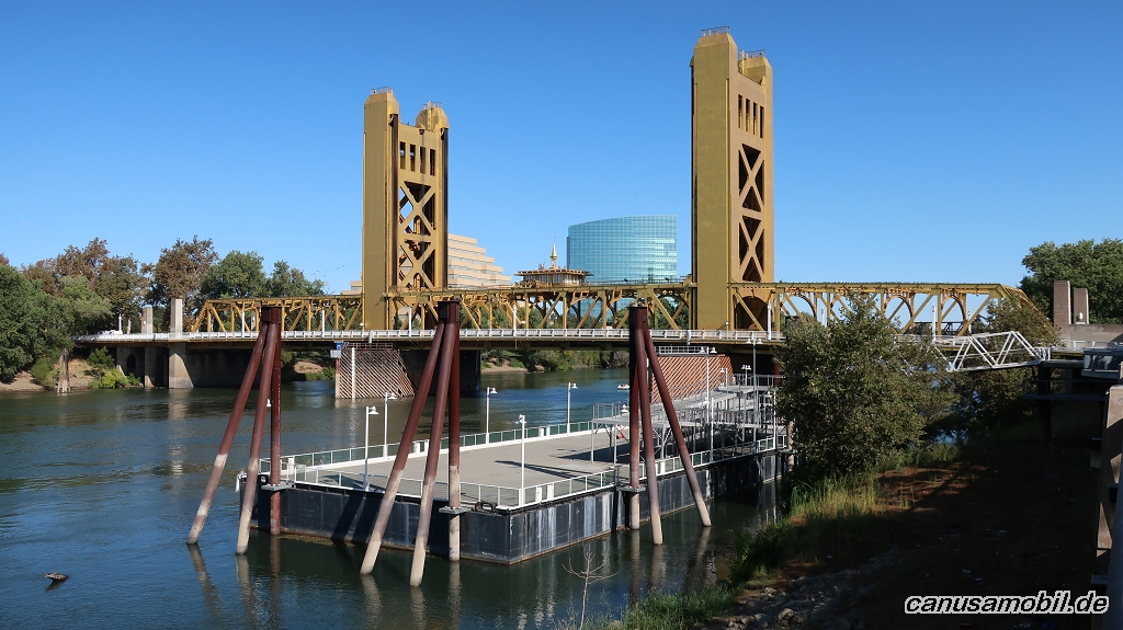
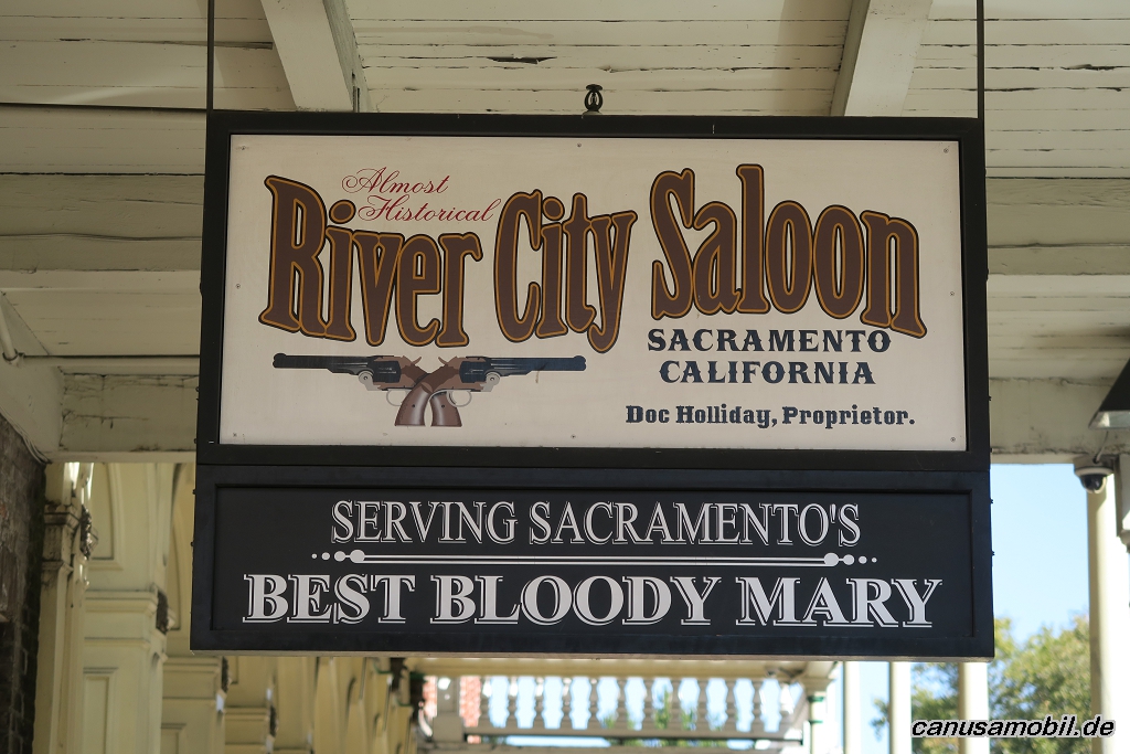
Sacramento 01
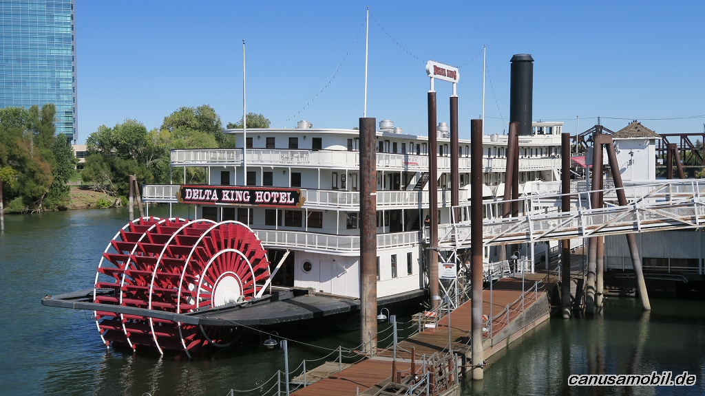
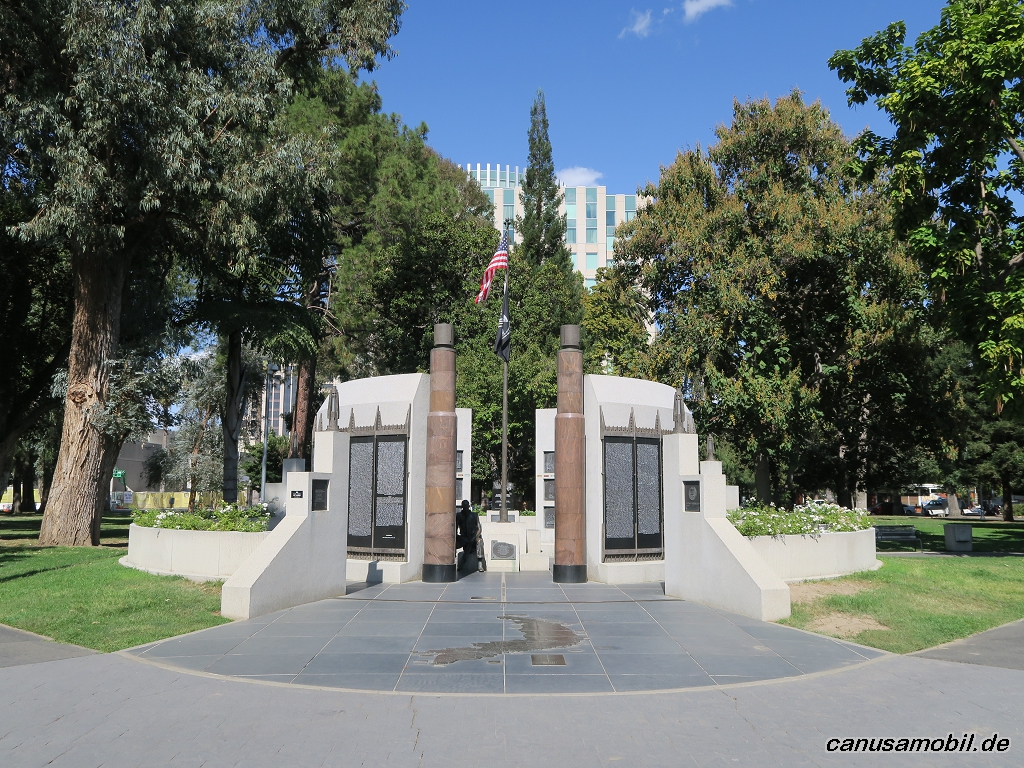
Sacramento 02
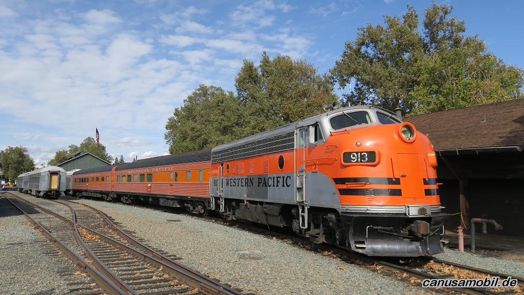
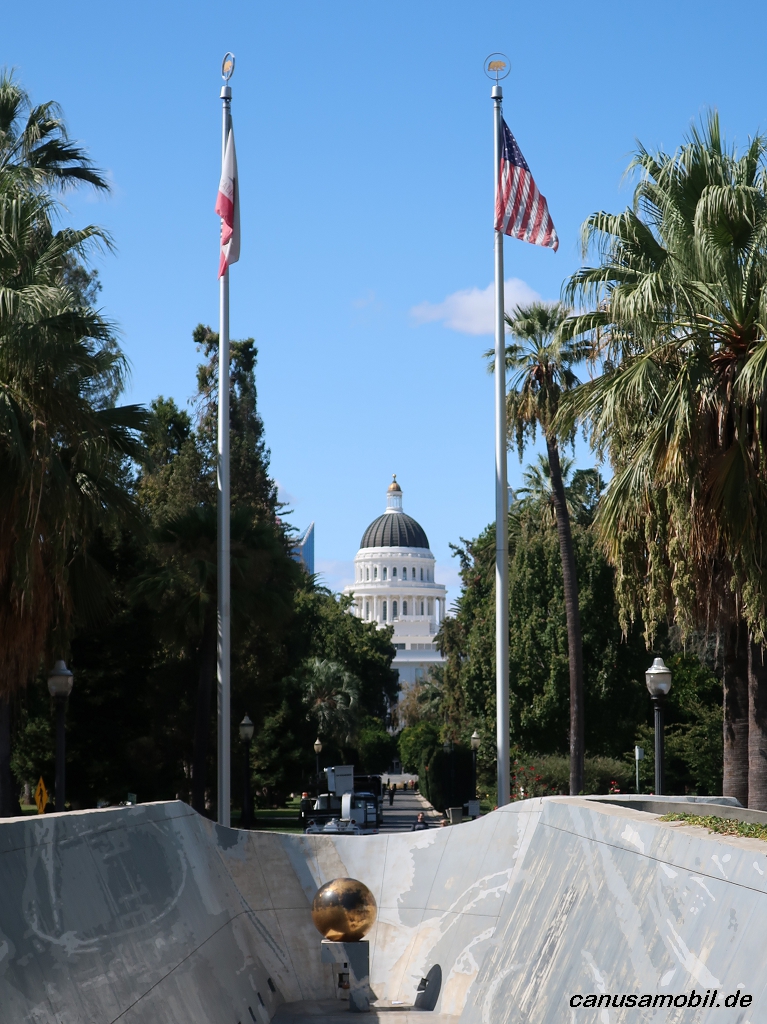
Sacramento 03
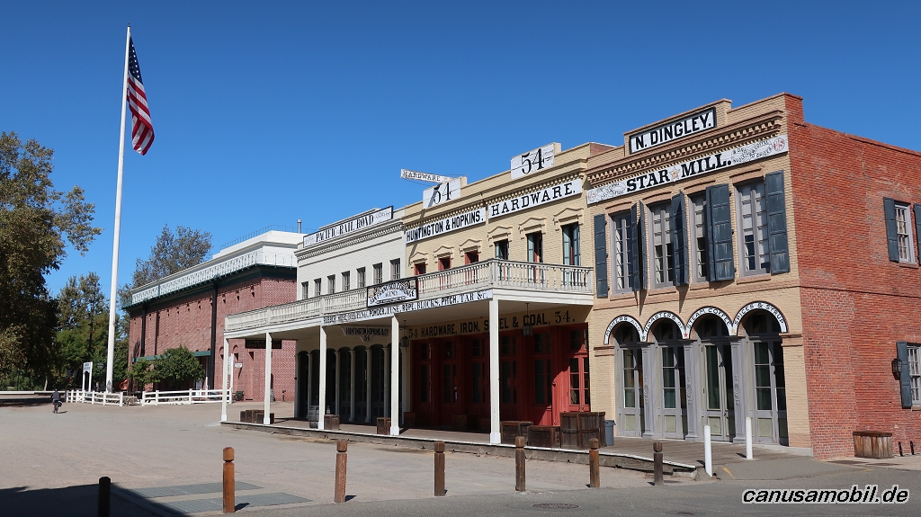
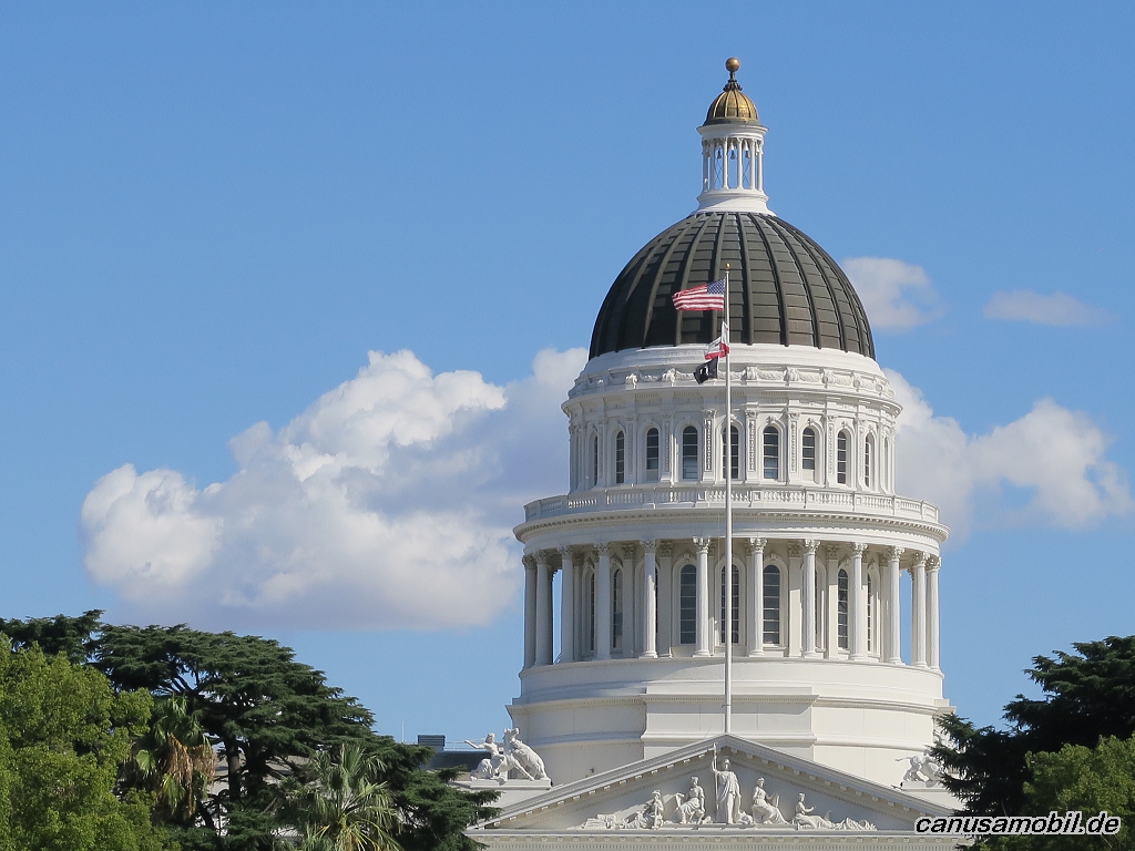
Sacramento 04
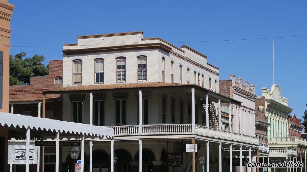
Sacramento 05
Sacramento 06
Sacramento 07
Sacramento 08
Sacramento 09
Sacramento 10
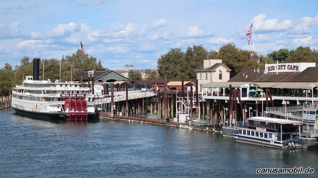
Sacramento 11
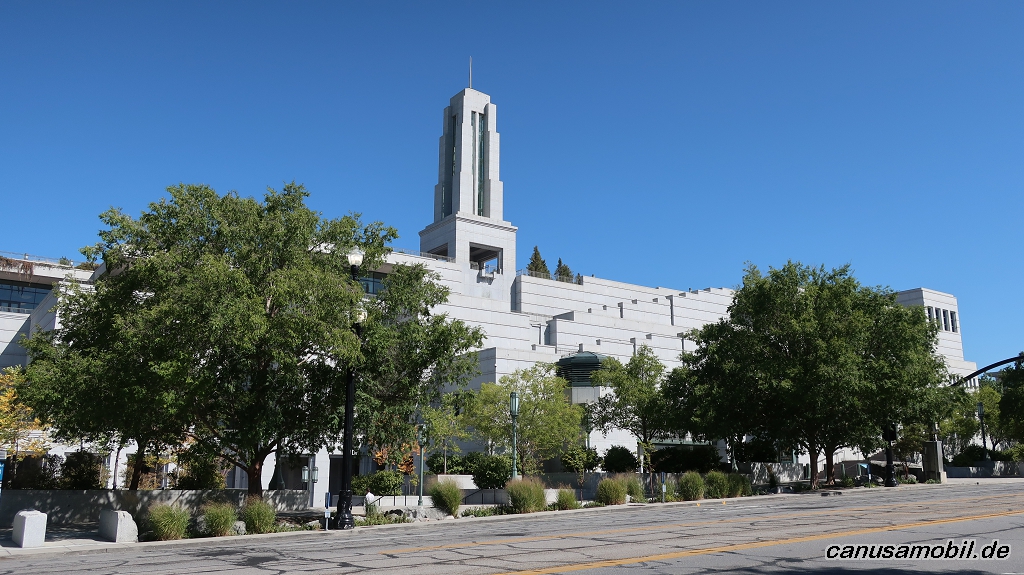
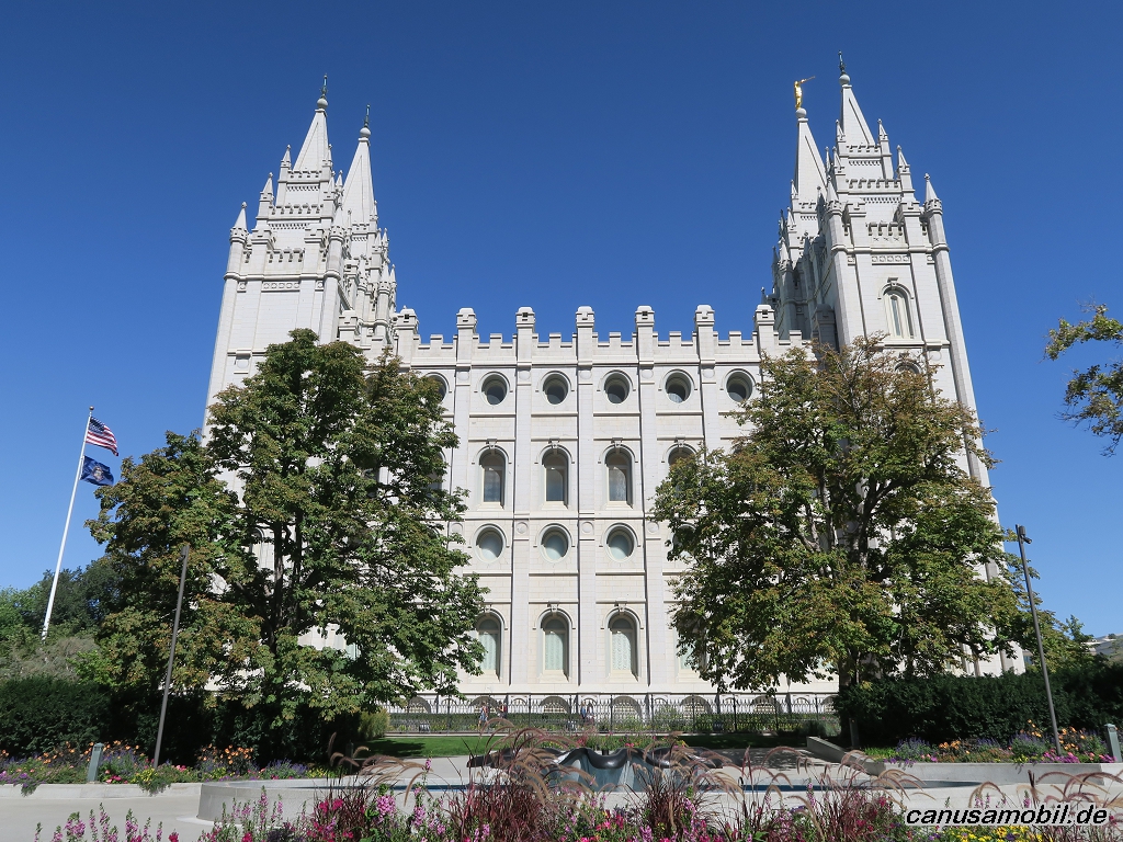
Salt Lake City 01
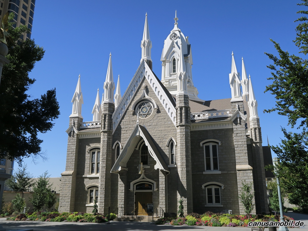
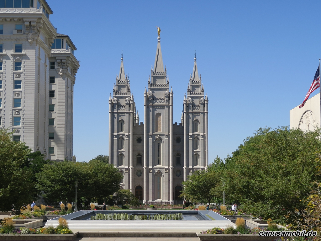
Salt Lake City 02
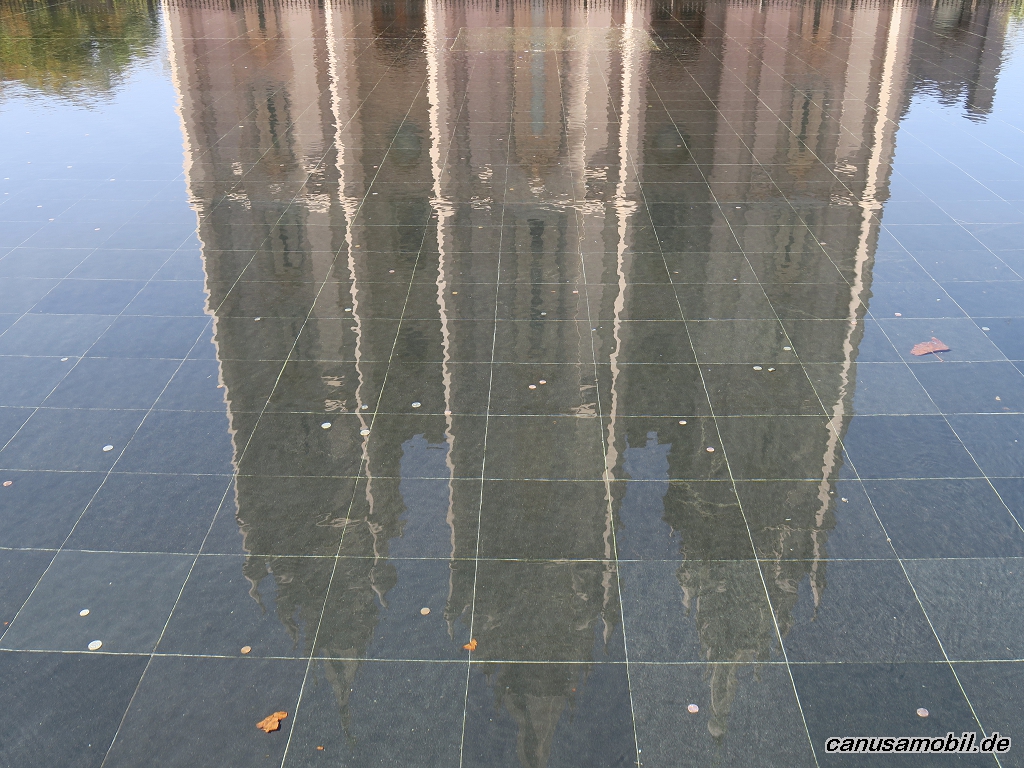
Salt Lake City 03
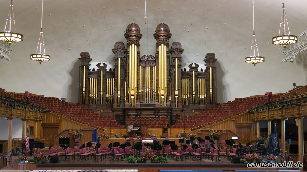
Salt Lake City 04
Salt Lake City 05
Salt Lake City 06
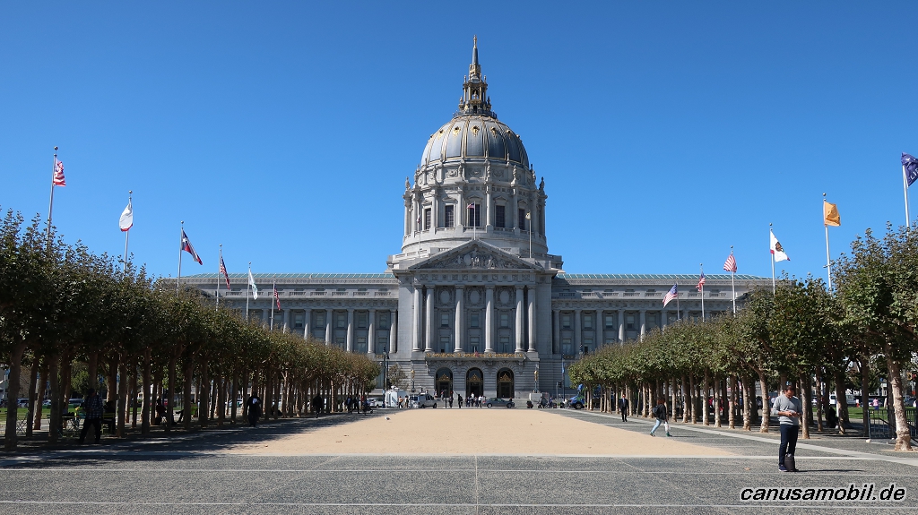
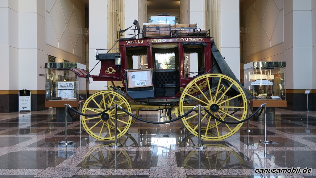
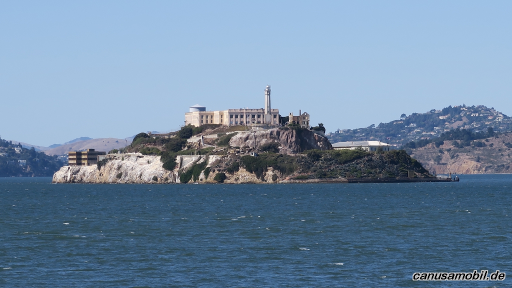
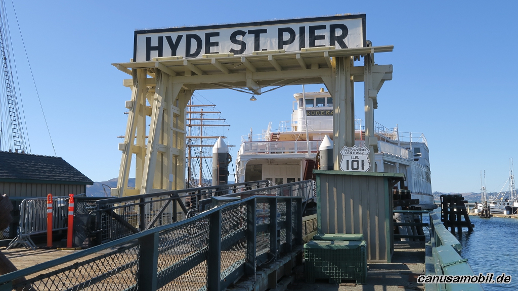
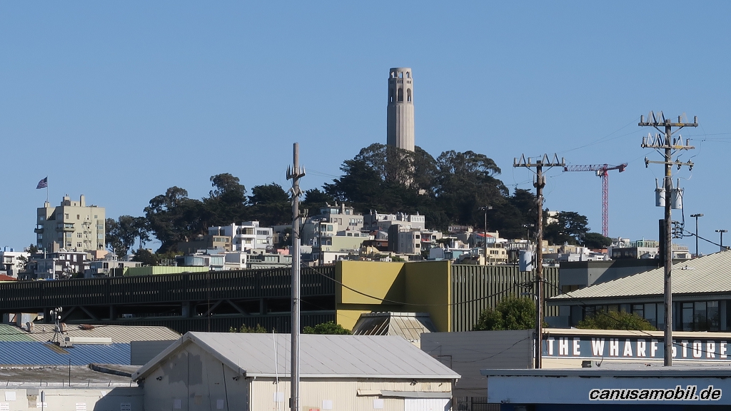
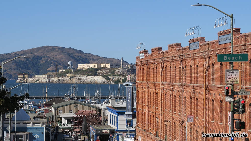
San Francisco 01
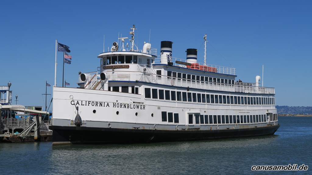
San Francisco 02
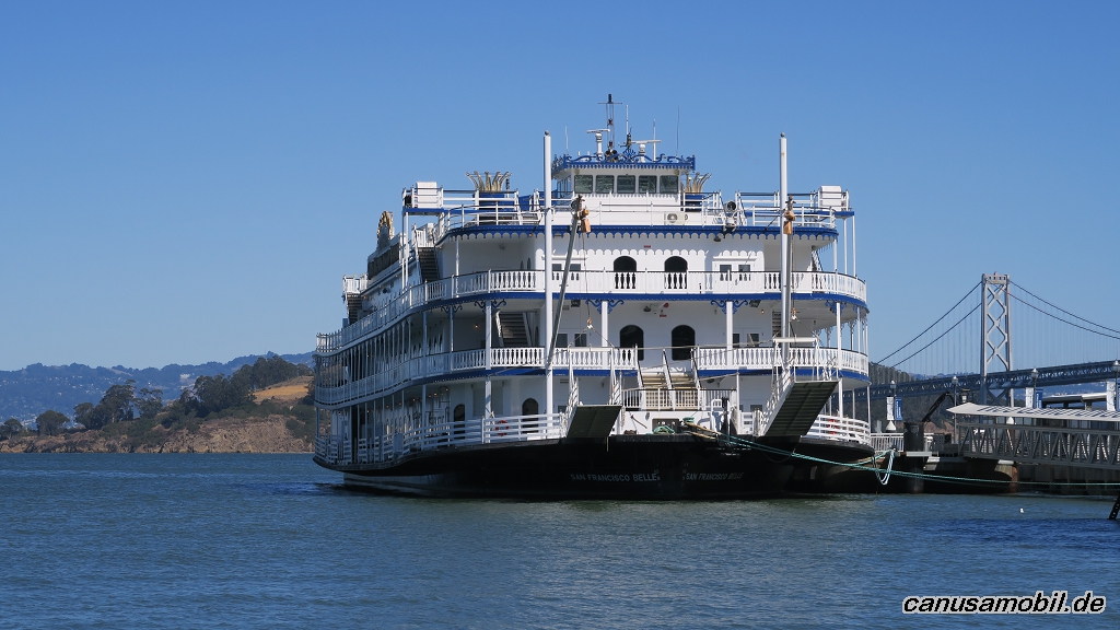
San Francisco 03
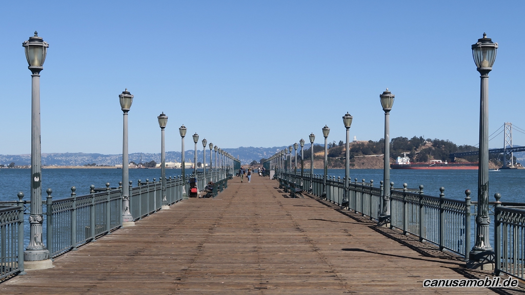
San Francisco 04
San Francisco 05
San Francisco 06
San Francisco 07
San Francisco 08
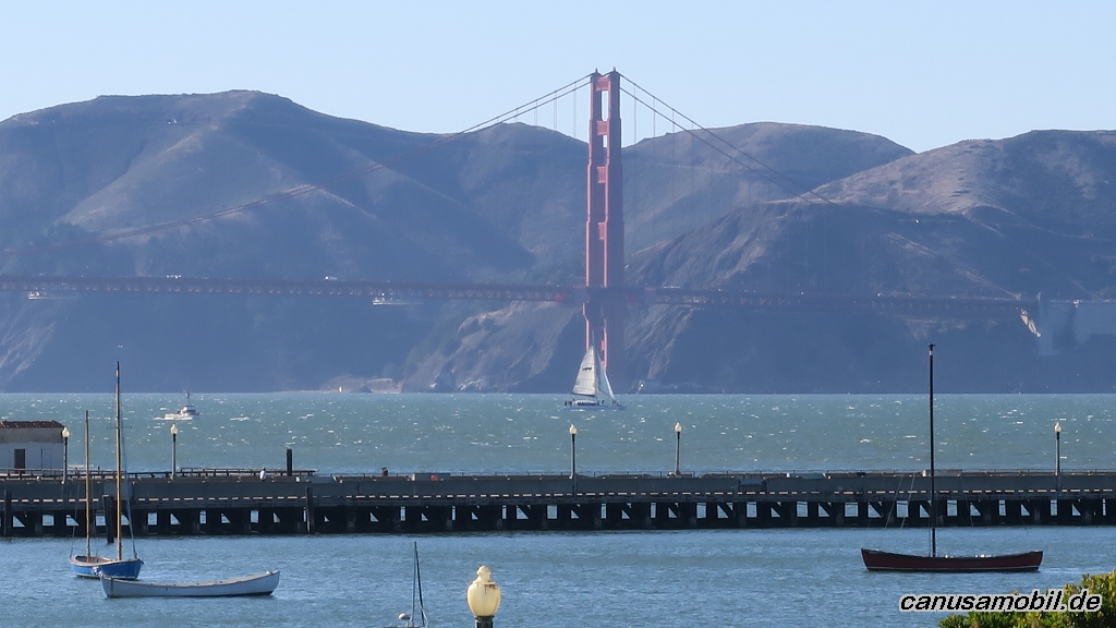
San Francisco 09
Sand Mountain RA
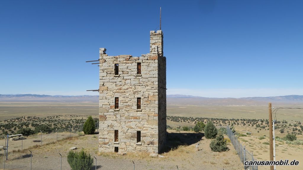
Stoke’s Castle
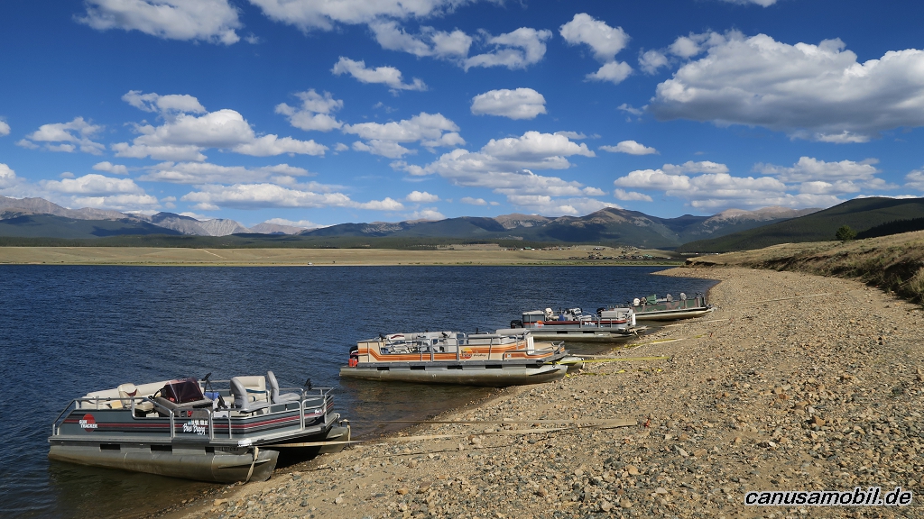
Taylor Reservoir 01
Taylor Reservoir 02